Farewell to the Simple "Aerial Photography Era": How Sensors Will Redefine the Drone Industry by 2026
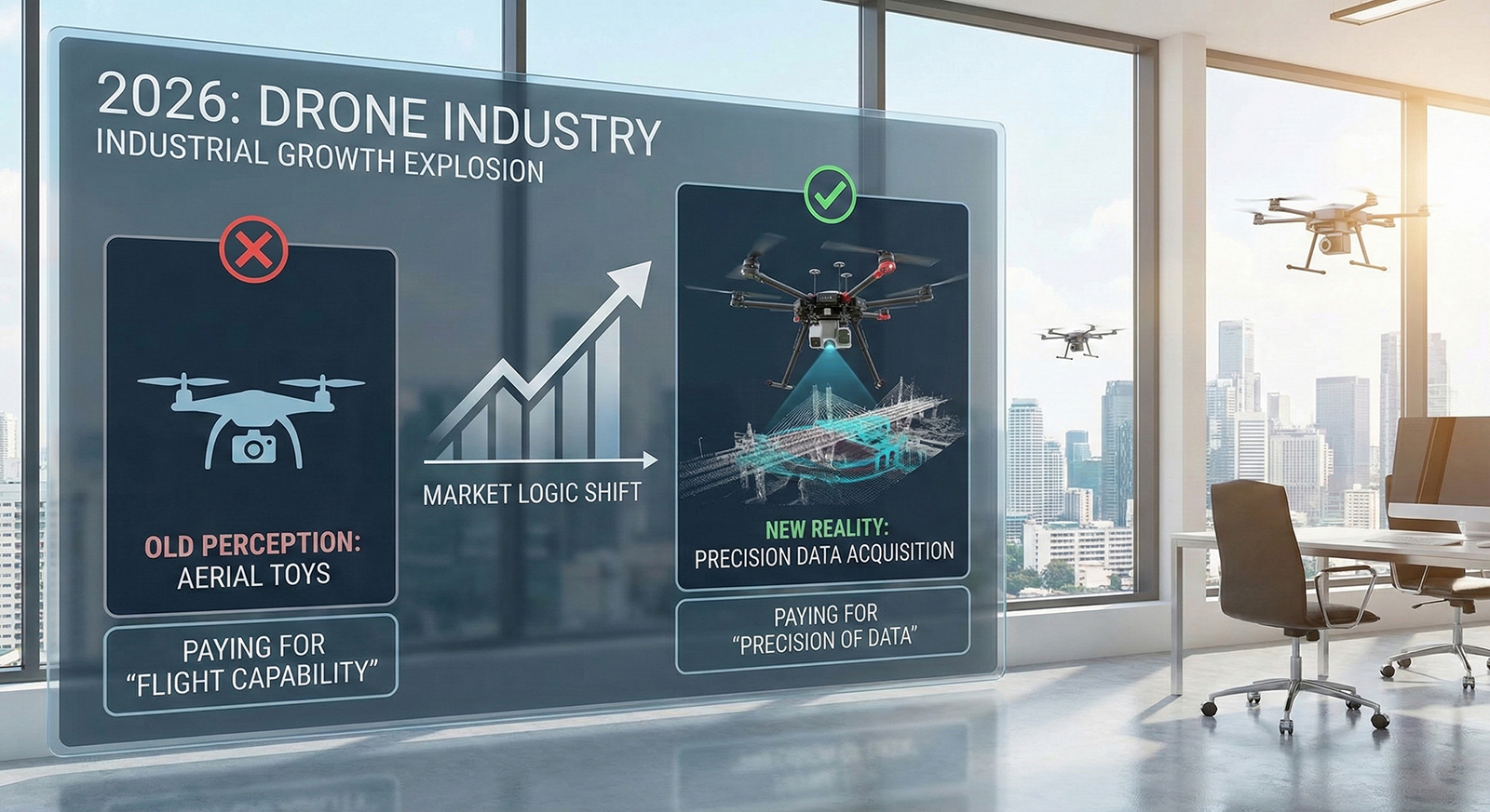
Do you still think drones are merely aerial photography toys in the hands of photographers? The market data for 2026 is overturning this perception. The global drone industry has officially entered the "industrial-grade growth explosion phase," with a fundamental shift in market logic: customers are no longer paying just for "flight capability," but for "data acquisition precision." According to the latest authoritative report from IDTechEx (2026), the global drone market size (covering military, civilian, and consumer-grade) has reached $69 billion and is projected to double to nearly $150 billion within the next decade (by 2036), with a stable compound annual growth rate of 7.9%. The driving force behind this astonishing growth is not higher pixel counts but the deep integration of sensors.
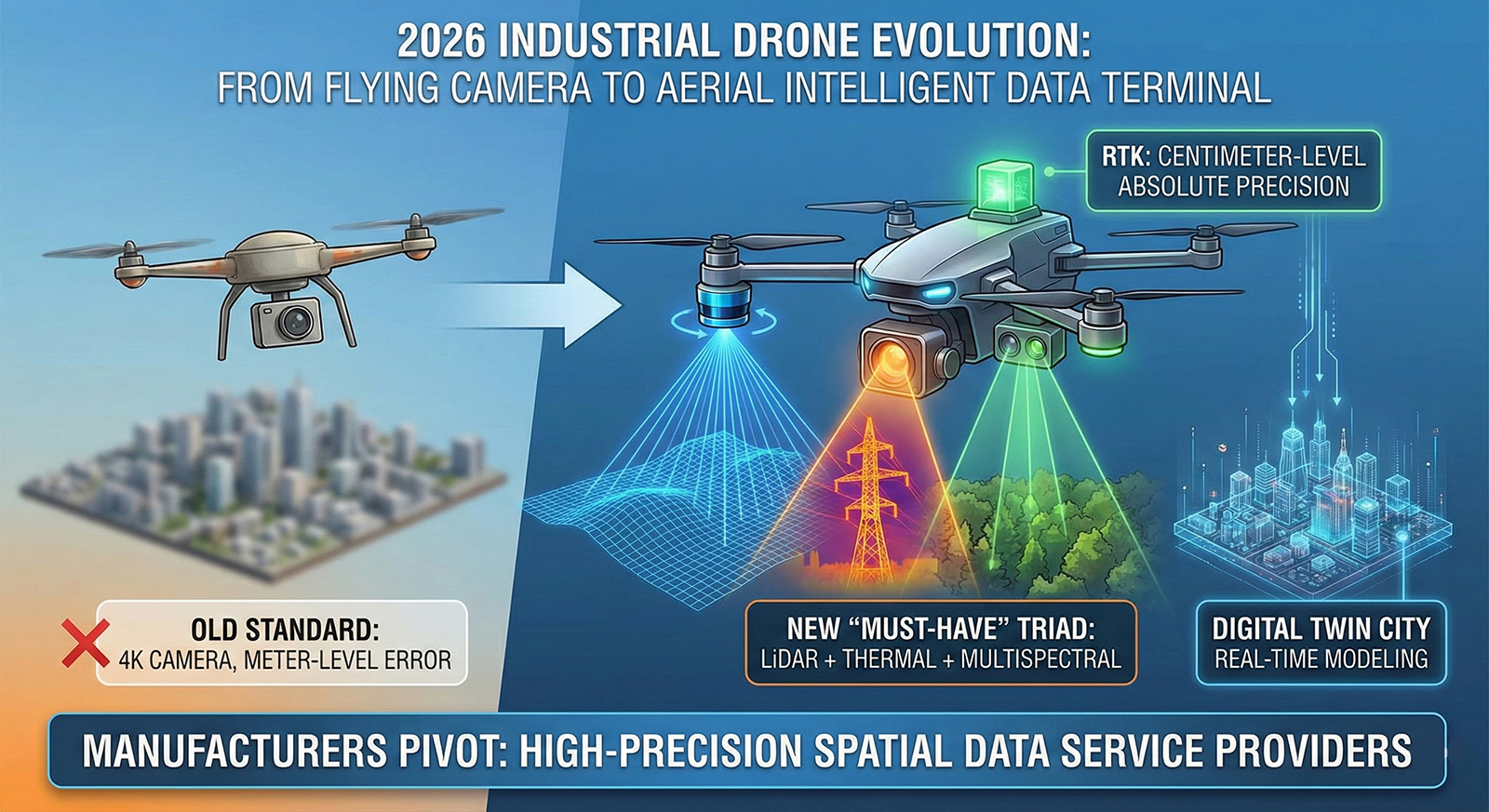
The industry's essential needs have now evolved from simple 4K cameras to more complex industrial sensing systems. The "must-have" list for industrial-grade clients (such as power line inspection, forest fire prevention, and urban surveying) has shifted to the deep integration of LiDAR, thermal imaging, and multispectral sensors. This "trinity" of sensing capabilities enables drones to simultaneously accomplish terrain modeling, equipment defect detection, and vegetation growth assessment in a single flight. Additionally, RTK (Real-Time Kinematic) technology has become the industry-wide "passport." In 2026, customers no longer accept meter-level errors; they demand centimeter-level absolute precision to support real-time modeling for digital twin cities. This extreme pursuit of high-precision data is forcing drone manufacturers to transition from hardware production to "high-precision spatial data service providers." This marks the complete evolution of drones from "flying cameras" to "flying intelligent data terminals."
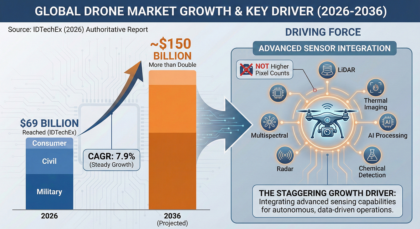
In 2026, the global drone market officially announced its entry into the "industrial-grade growth explosion phase," with the market size not only surpassing $69 billion but also achieving a fundamental technological restructuring. According to IDTechEx's in-depth report, contemporary industrial drones are no longer simple devices merely equipped with cameras...It is not just a drone, but an "aerial robotic terminal" that integrates high-performance edge computing, various advanced sensors, and centimeter-level positioning capabilities.