Low-Altitude Digital Assetization: Constructing the Order and Sovereignty Foundation of 3D Cities
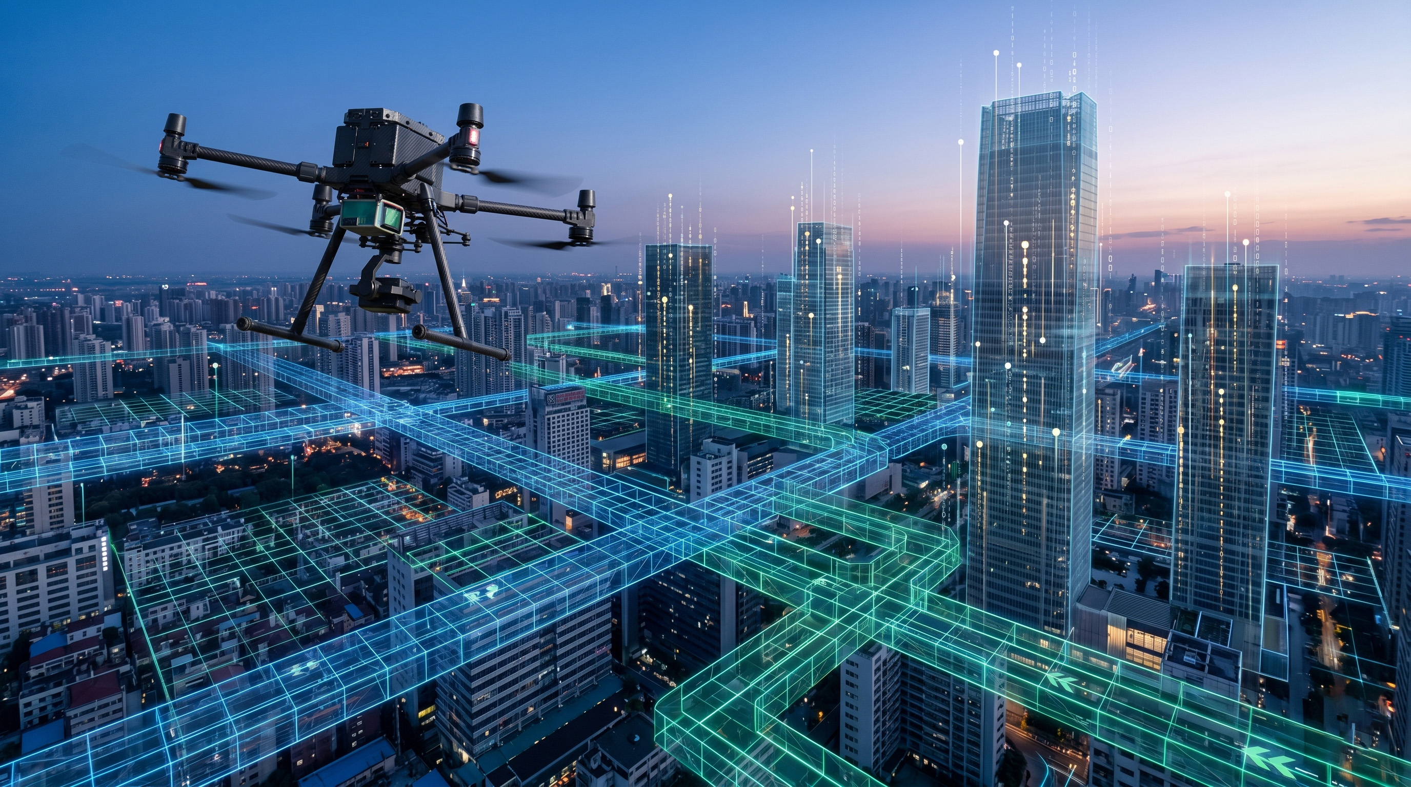
We are standing at a historical crossroads of urban evolution: the sky is becoming a computable, measurable, and governable precious resource. When low-altitude airspace is no longer just a physical space in a geographical sense but evolves into a "three-dimensional digital territory" with economic attributes and sovereign characteristics, the role of drones undergoes a qualitative change. No longer observers roaming outside urban order, they become the most fundamental and active particles building the digital foundation of 3D cities. This shift demands a re-examination of the relationship between drones and the urban environment—it is not just a technological integration, but a reconstruction of order, safety, and production relations.
In the past, urban management logic was mostly confined to the 2D surface; all traffic rules, cadastral management, and security logic were planar. However, with the exponential growth in the frequency of low-altitude logistics, aerial commuting, and urban inspections, we must carve out invisible "lanes" and "medians" in vertical altitude. This means every drone operating above the city must solve not only its own obstacle avoidance and path planning but also the foundational issue of "identity certainty" to establish trust. In this context, the logic of low-altitude digital assetization emerges.
The core of this assetization is the "authentication and value-addition of real-time coordinates." Every drone traversing the low-altitude sky is, in essence, a sensor node continuously producing time-series data endorsed by high-precision geospatial information. This data includes real-time weather, subtle changes in building surfaces, and traffic flow characteristics. Aggregated and computed in the cloud, these fragmented data points eventually form the "digital dashboard" for urban managers. To support this scale of coordination, flight platforms must possess a high degree of identity "atomization." Through integrated Remote ID and blockchain links, every takeoff, flight path envelope, and payload status becomes an immutable encrypted log.
This extreme pursuit of order is the only path to building "permitted freedom." For industrial users and municipal policymakers, this means every inspection photo and video stream captured by a drone carries unforgeable timestamps, geographic coordinates, and unique device fingerprints. This "data assetization" grants inspection results the force of legal evidence, significantly enhancing the authority of asset management. For example, in unauthorized construction verification or river pollution tracing, drone data is no longer just reference information but a digital asset that can serve as a basis for law enforcement.
The more profound impact is that this low-altitude digital foundation is reshaping the perception dimensions of smart cities. Traditional smart city construction has mostly been "bottom-up," relying on expensive ground-based fixed sensor networks; drones bring "heaven-to-earth" full-space coverage. This omni-dimensional perception capability allows the city to evolve from a flat physical entity into a real-time interactive "digital twin organism." When an emergency occurs, the automatic dispatch system based on the digital foundation can instantly wake the nearest docking station terminal and plan an optimal tactical path that avoids sensitive no-fly zones and physical interference.
The establishment of this 3D order marks the official entry of human urban management into a new era of digitized and autonomous operations. This transformation is not just about how many minutes faster a delivery is; it is about the city's survival resilience when facing extreme weather or sudden disasters. With tens of thousands of drones scattered across urban nodes as "digital sentinels," we are effectively building a fully automated "immune system" for the sky. This system ensures that urban pulses remain stable, transparent, and traceable in three dimensions. Low-altitude airspace will no longer be a management blind spot but the most efficient and dynamic sovereign foundation of the smart city.